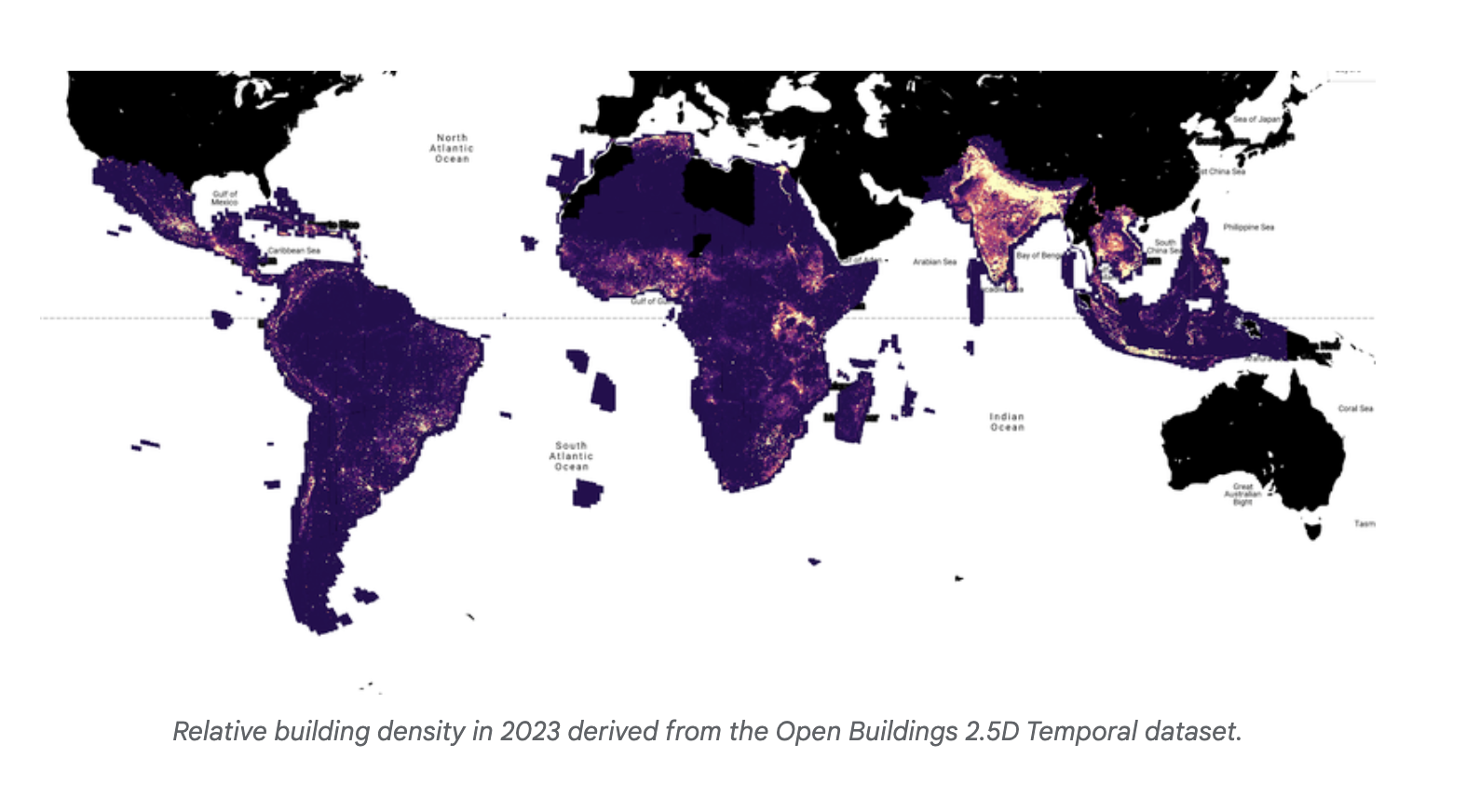
Practical Solutions and Value of Google’s Open Buildings 2.5D Temporal Dataset
Challenges Addressed:
Governments and organizations lack timely and accurate data on building changes, hindering urban planning and crisis response efforts.
Practical Solution:
Google’s dataset uses Sentinel-2 satellite imagery to estimate building changes globally every five days, enhancing accuracy and coverage.
Key Features:
- Utilizes machine learning to track building presence and height changes over time.
- Employs HRNet architecture-based models for accurate building footprint detection.
- Achieves 78.3% mean Intersection over Union (IoU) accuracy, close to high-resolution imagery.
- Offers tools for estimating building heights with 1.5 meters mean absolute error and reliable building count predictions.
Value Proposition:
The dataset significantly advances building change detection in the Global South, enabling better urban planning and crisis response through innovative use of public satellite imagery and machine learning models.


